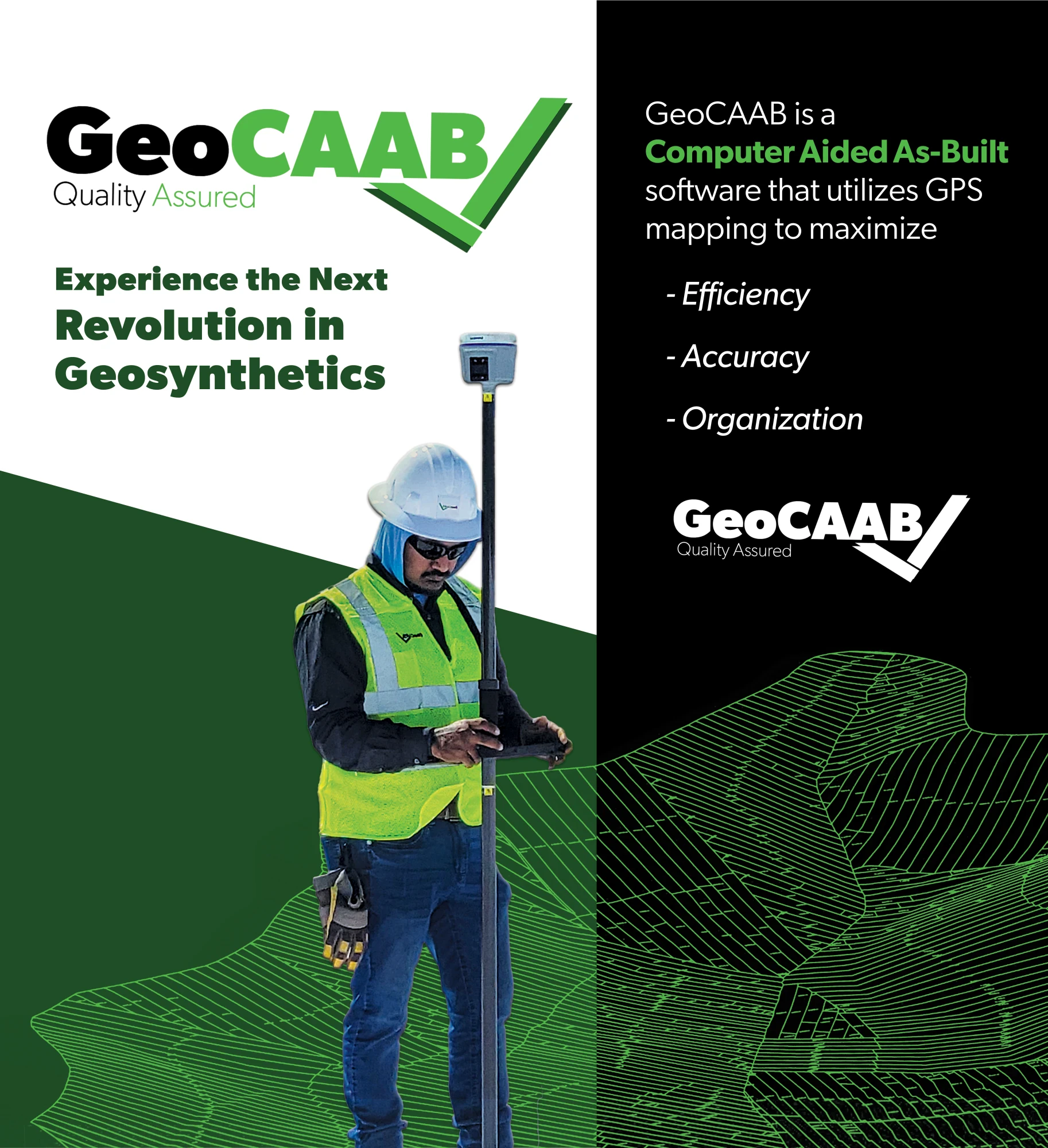
Experience the Next
Revolution in Geosynthetics

Streamline Your Geosynthetic Project
GeoCAAB™ was developed with the field end-user in mind, built with practical tools and functions to make the software easy to use and accessible to anyone via the cloud. By automating the installation phase with GeoCAAB™, the industry as a whole instantaneously evolves from a redundant, antiquated practice to a more resourceful ecosystem.
All stakeholders in a geosynthetic lined venture will be able to leverage this technological enhancement. From owners, regulators and engineers to materials manufacturers, equipment producers and installation contractors. By digitizing previously hand-written data collection methods and integrating automated quality checks, GeoCAAB™ is able to save time in the field and streamlines data reporting for project submittals on the backend.
Beneficiaries
Frequently Asked Questions
Sales
Support
Our Blog
Learn about GeoCAAB, keep up with industry news, and more via our blog series.
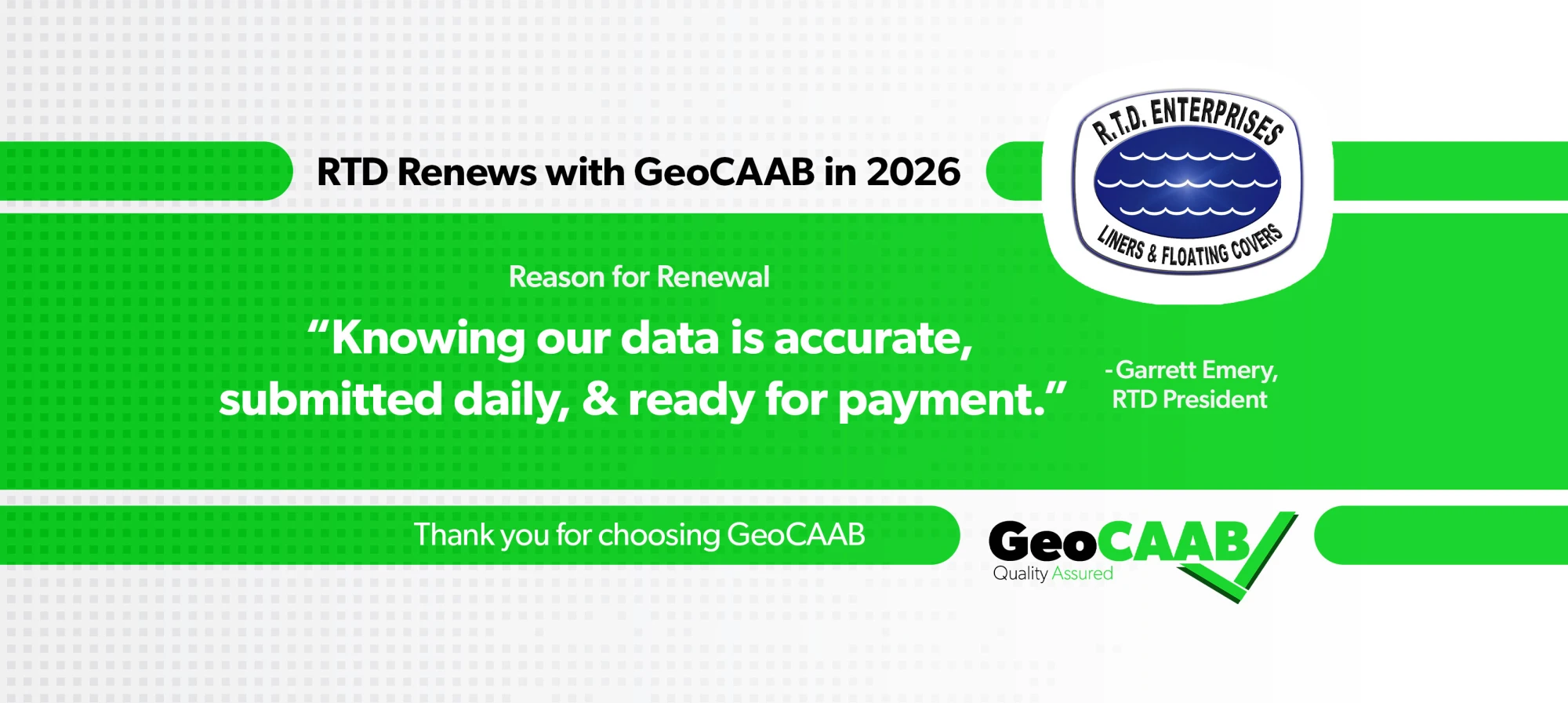
RTD Renews GeoCAAB to Streamline QA/QC and Project Oversight
RTD Enterprises renewed GeoCAAB to support real-time QA/QC, faster reporting, and reliable project oversight across complex geosynthetics projects. By capturing accurate field data as work is completed, RTD eliminates rework, reduces documentation stress, and meets tight daily submittal requirements. GeoCAAB helps RTD move faster with confidence, ensuring clean, submission-ready reports and dependable QA/QC data every day.
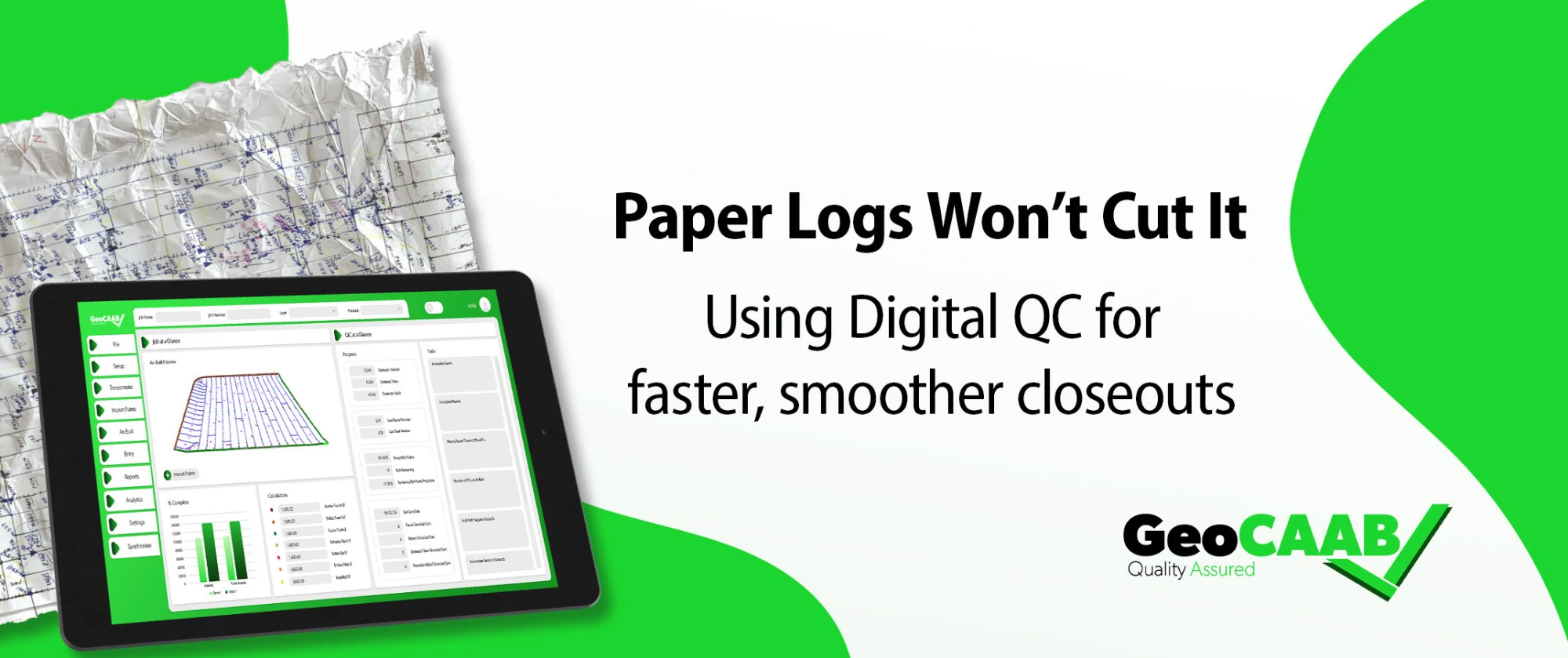
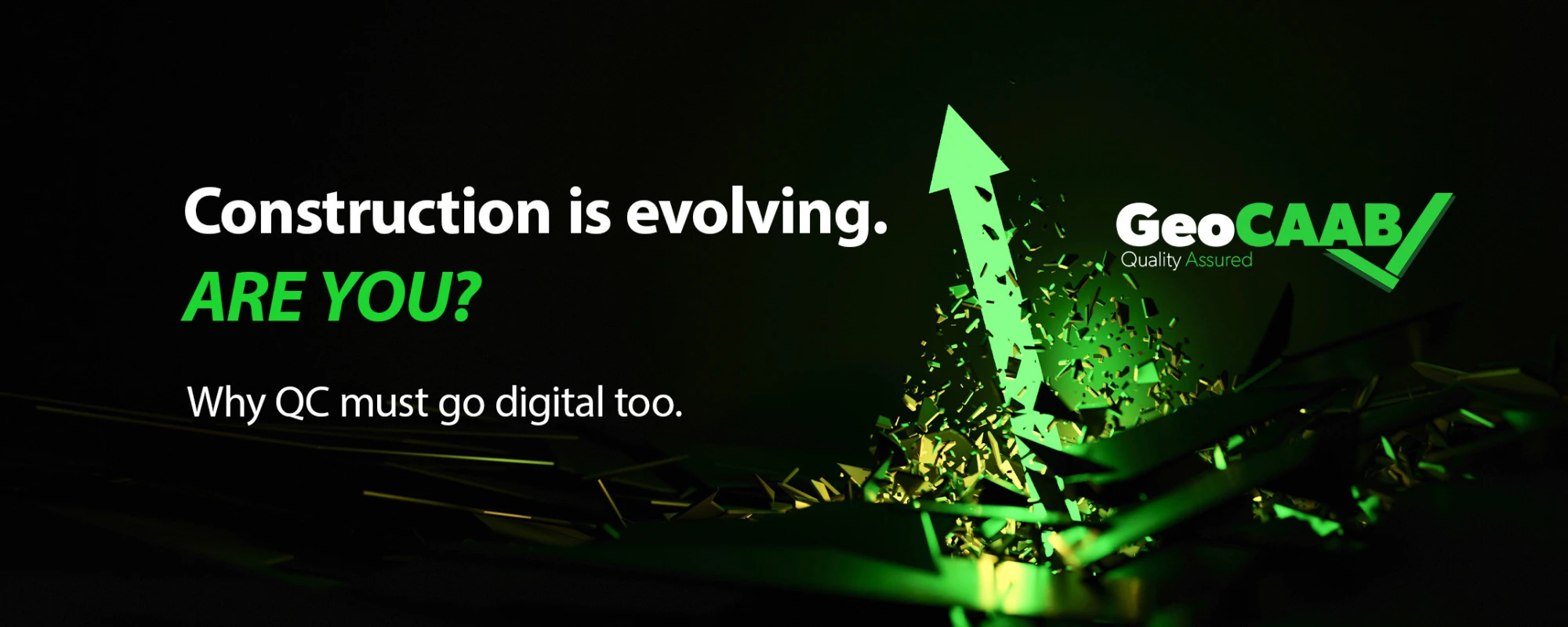
The Digital Shift in Construction: Why QC Can't Stay on Paper
Explore how digital QC helps crews keep pace with the industry's growing use of drones, sensors, and real-time data.
Efficient. Accurate. Organized.
Technology equips us to provide our clients with unmatched service. Our Computer Aided As-Built software utilizes GPS mapping to maximize efficiency, accuracy, and organization.
Once this simple software integration is deployed, users are also left with a complex Data Warehouse that can be cyclically leveraged for boundless process improvements and efficiencies.
Let's Connect! Call Or Inquire Online.