
Experience the Next
Revolution in Geosynthetics
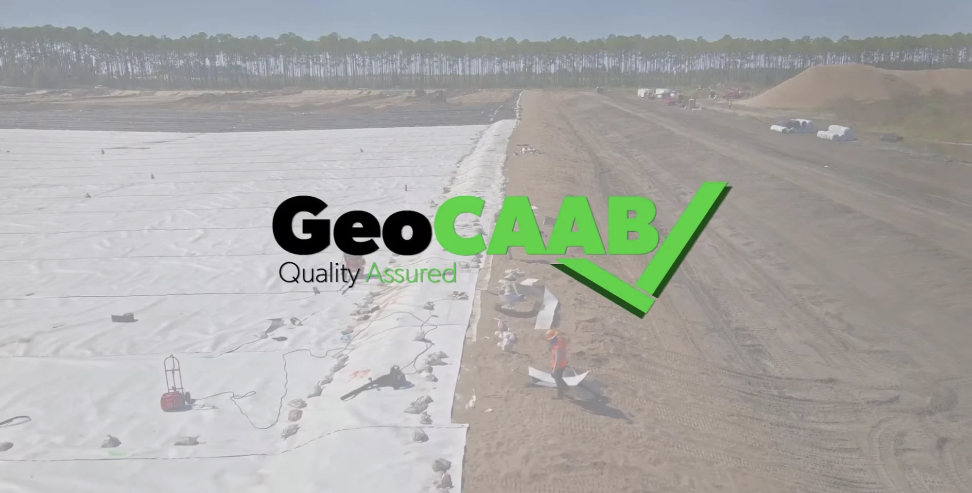

Streamline Your Geosynthetic Project
GeoCAAB™ was developed with the field end-user in mind, built with practical tools and functions to make the software easy to use and accessible to anyone via the cloud. By automating the installation phase with GeoCAAB™, the industry as a whole instantaneously evolves from a redundant, antiquated practice to a more resourceful ecosystem.
All stakeholders in a geosynthetic lined venture will be able to leverage this technological enhancement. From owners, regulators and engineers to materials manufacturers, equipment producers and installation contractors. By digitizing previously hand-written data collection methods and integrating automated quality checks, GeoCAAB™ is able to save time in the field and streamlines data reporting for project submittals on the backend.
Beneficiaries
Frequently Asked Questions
Sales
Support
Our Blog
Learn about GeoCAAB, keep up with industry news, and more via our blog series.
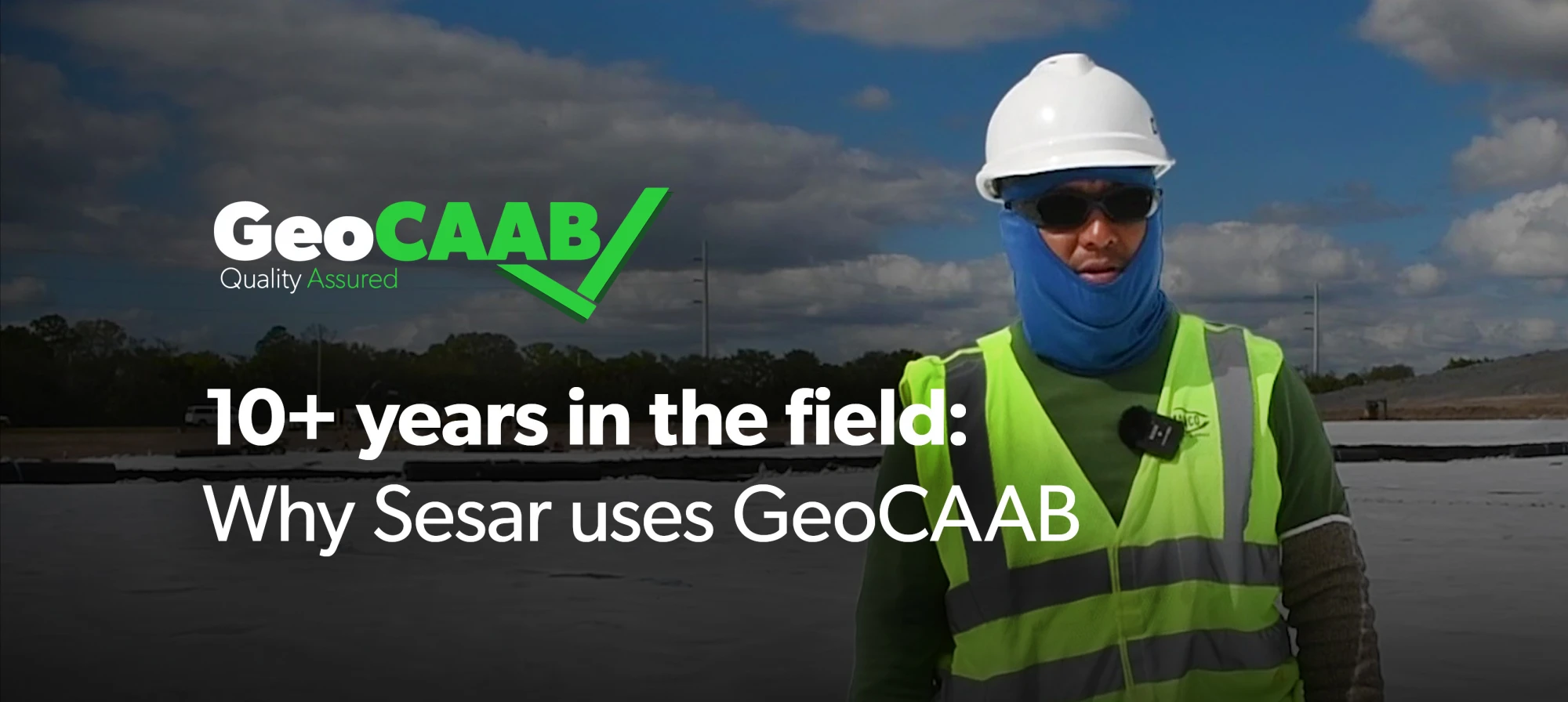
Experienced Field Teams Choose Smarter Digital QA/QC Solutions
After more than 10 years using GeoCAAB, Sesar Quirino shares how the platform streamlines geosynthetic installation documentation. Learn how GPS mapping, digital as-builts, and real-time project tracking help field teams improve QA/QC, eliminate paper workflows, and provide clients with accurate project records.
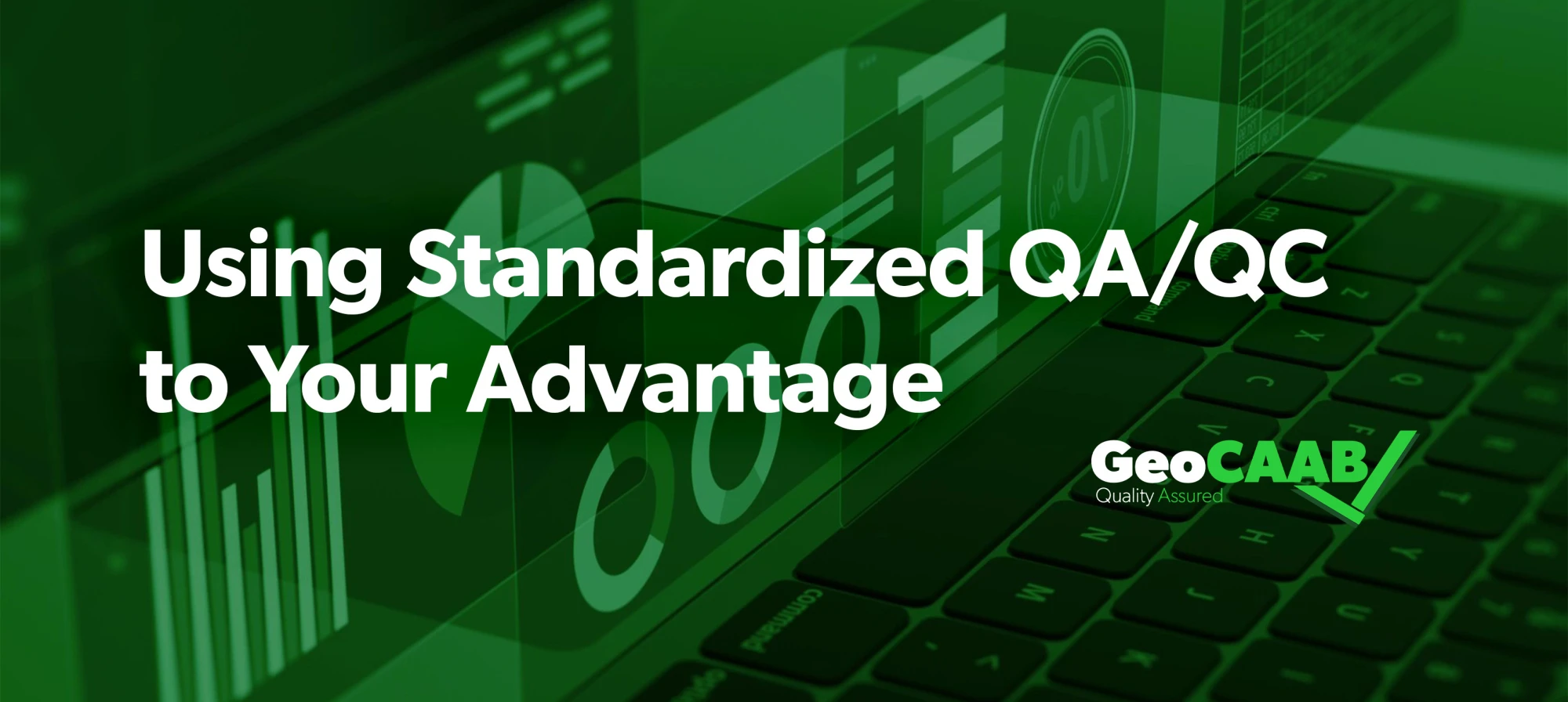
Why Standardized QA/QC Is the New Competitive Advantage in Geosynthetics
As geosynthetic projects become more connected across regions and teams, standardized QA/QC processes are becoming essential. This article explores how consistent documentation, digital workflows, multilingual support, and metric and imperial compatibility help installers improve quality, simplify reporting, and scale operations. Discover how GeoCAAB helps create repeatable QA/QC processes that deliver consistent results on every project.
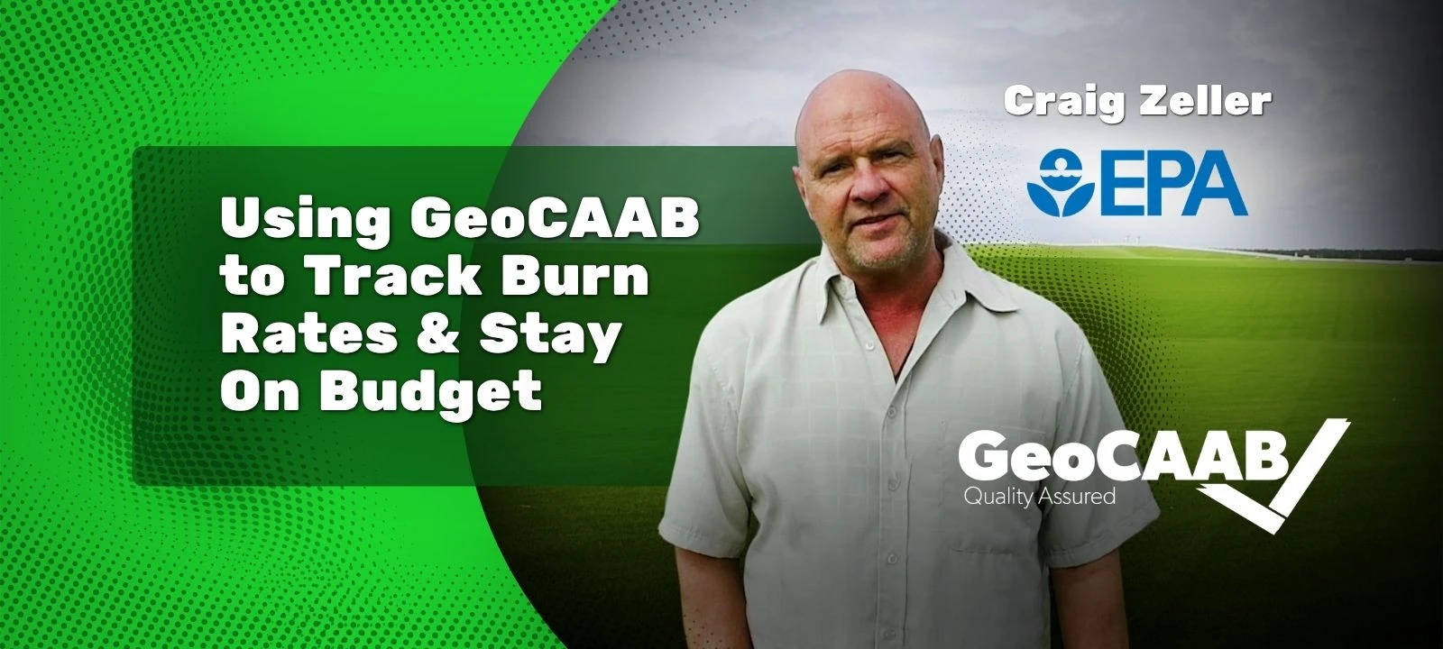
From Monthly Reports to Real-Time Control: How GeoCAAB Helps Project Managers Track Progress and Stay on Budget
Project manager Craig Zeller explains how GeoCAAB improved visibility into project performance by enabling real-time tracking of progress and costs. Instead of relying on monthly reports, he was able to monitor percentage completion alongside burn rates on a daily and weekly basis. GeoCAAB helps teams stay aligned with budgets, improve reporting accuracy, and make more informed decisions throughout the project lifecycle.

I used to do it [with] pen and paper for two years... and I honestly don't want to go back. Too much hassle. [GeoCAAB] is way easier.
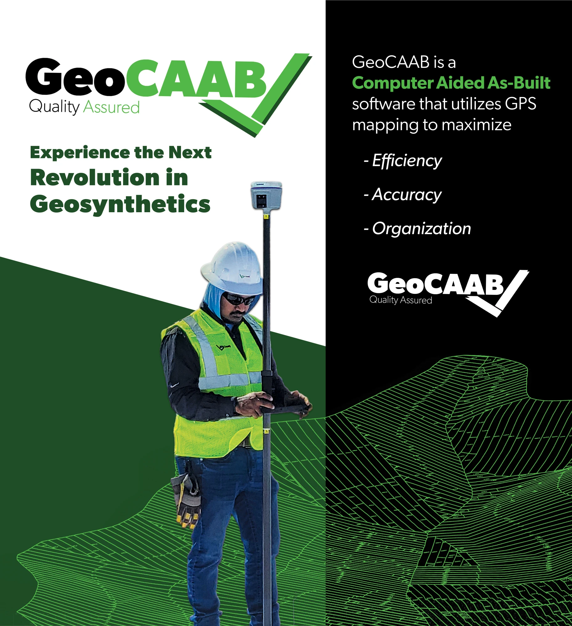
Efficient. Accurate. Organized.
Technology equips us to provide our clients with unmatched service. Our Computer Aided As-Built software utilizes GPS mapping to maximize efficiency, accuracy, and organization.
Once this simple software integration is deployed, users are also left with a complex Data Warehouse that can be cyclically leveraged for boundless process improvements and efficiencies.
Let's Connect! Call Or Inquire Online.