Experienced Field Teams Choose GeoCAAB for Smarter QA/QC
When you've spent more than a decade managing geosynthetic installation data, you learn which tools make the job easier and which ones create more work.
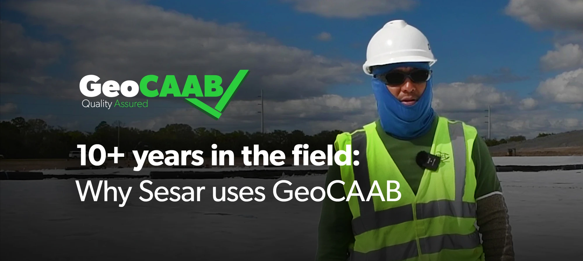
For Sesar Quirino, GeoCAAB has become an essential part of documenting projects in the field. After more than 10 years using the platform, he continues to rely on GeoCAAB to capture accurate installation data, generate digital as-builts, and provide clients with clear project documentation.
Capturing Every Detail in the Field
Every geosynthetic installation produces valuable information that needs to be documented accurately.
Using GeoCAAB, field teams record GPS coordinates, geomembrane panel information, pipe locations, elevations, distances, and other critical installation details as work progresses. Instead of relying on handwritten sketches or manual calculations, the information is collected digitally and organized in one place.
That means less time spent on paperwork and more confidence that project records accurately reflect field conditions.
Replacing Paper with Digital As-Builts
One of the biggest improvements Sesar has seen is eliminating the need to create hand-drawn as-built sketches.
Rather than drawing layouts on paper after installation, GeoCAAB automatically compiles the collected field data into accurate digital drawings. Project information is available immediately, including:
- GPS-referenced installation data
- Digital as-built drawings
- Installed square footage
- Distances and measurements
- Project completion percentages
- Remaining work to be completed
Having this information readily available allows crews to monitor progress while maintaining organized documentation throughout the project.
Giving Clients Better Visibility
GeoCAAB doesn't just benefit the installation team. It also gives owners and engineers a clearer picture of project progress.
With digital drawings and 3D as-built visualization, clients can better understand exactly what has been installed and where. Instead of reviewing stacks of paperwork or hand-drawn sketches, they receive organized digital documentation that supports project transparency and long-term record keeping.
Built for the Way Installers Work
For experienced professionals like Sesar, GeoCAAB has become more than just software. It's a tool that simplifies documentation while improving the quality of project records.
After more than a decade of use, the value remains the same: collect accurate field data once, generate reliable documentation, and give both installers and clients greater confidence throughout the project.
Learn More
Ready to move beyond paper logs and manual as-builts? GeoCAAB helps geosynthetic installation teams capture accurate field data, generate digital as-builts, and keep projects moving with confidence.
Contact our team to learn more or request a demo today to see how digital QA/QC can improve your next project.
GeoCAAB: Experience the Next Revolution in Geosynthetics
We are a computer-aided as-built software, built by the field, for the field, that utilizes GPS mapping to maximize efficiency, accuracy, and organization.