When Pipe Management Gets Complex, Documentation Has to Keep Up
On active jobsites, quality control is not static. It moves with the excavation, the installation crew, and the daily adjustments that come with complex systems. In Miami, Hector Yanes knows this firsthand.
Hector works in quality control on a project that differs from traditional landfill or industrial work. Instead of a straightforward installation sequence, this site involves a fully integrated pipe management system tied directly to gas venting and water collection infrastructure. That level of coordination demands precision.
And precision demands documentation that can keep up.
Managing Pipe Elevations in Real Time
On this project, pipe installation is not just about placement. Every section must meet exact elevation requirements outlined in the plans. Slopes must match client specifications. Tie-ins must align. The system must function as designed.
Hector verifies:
-
Pipe elevations against design plans
-
Proper slope and incline requirements
-
Alignment with connected systems such as Geovent
-
Integration with liner components
-
Daily progress across changing site conditions
After confirming elevations, he works directly with the excavator operator, communicating required grades and slopes in real time. The process is collaborative and continuous. Small adjustments in the field can have major impacts on performance later.
In a system that collects both water and gas, accuracy is not optional.
Connecting Pipe Management to Gas Venting Systems
This project includes a Geovent system that collects water and gas and feeds into the broader pipe management network. Every component must align hydraulically and structurally.
That means documentation cannot lag behind installation.
Field conditions change quickly. Elevations shift. Coordination between trades happens constantly. Without immediate data capture, information gaps appear. Those gaps can turn into rework, billing questions, or long hours reconstructing As-Builts.
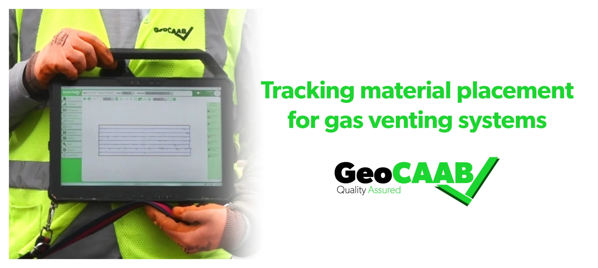
Using GeoCAAB to Keep Documentation Aligned with Installation
In Miami, Hector uses GeoCAAB to:
-
Record pipe elevations directly in the field
-
Track placement of materials
-
Document gas venting system integration
-
Capture daily installation progress
-
Ensure final As-Builts reflect real-world conditions
Instead of handwritten notes or delayed data entry, information is documented in real time. Elevations recorded in the field are tied directly to project records. Coordination with operators is reflected immediately in the documentation.
When QC gets complex, documentation cannot fall behind.
Built for Dynamic Jobsites
As Hector describes it, the work is dynamic. Crews are coordinating liners, pipe systems, venting infrastructure, and excavation simultaneously. Quality control is not just inspection. It is active involvement in installation sequencing and performance verification.
GeoCAAB supports that environment by giving QC teams the ability to:
-
Verify compliance with design requirements
-
Reduce documentation errors
-
Improve communication between field and office
-
Deliver accurate, defensible As-Builts
Complex systems require more than checklists. They require visibility.
Real-Time Field Data. Accurate Documentation. Built for Complex Projects.
Projects with integrated pipe management and gas venting systems leave little room for error. Elevations must match. Slopes must function. Systems must connect exactly as designed.
When the work is dynamic, documentation must move just as fast.
GeoCAAB helps quality control teams like Hector’s capture what is happening in the field as it happens, ensuring every installation is documented accurately and every final record reflects the work performed.
Because when quality control gets complex, documentation has to keep up.
GeoCAAB: Experience the Next Revolution in Geosynthetics
We are a computer-aided as-built software, built by the field, for the field, that utilizes GPS mapping to maximize efficiency, accuracy, and organization.