Table of Contents
GeoCAAB Presents at 37th Annual FLSME Mining Conference
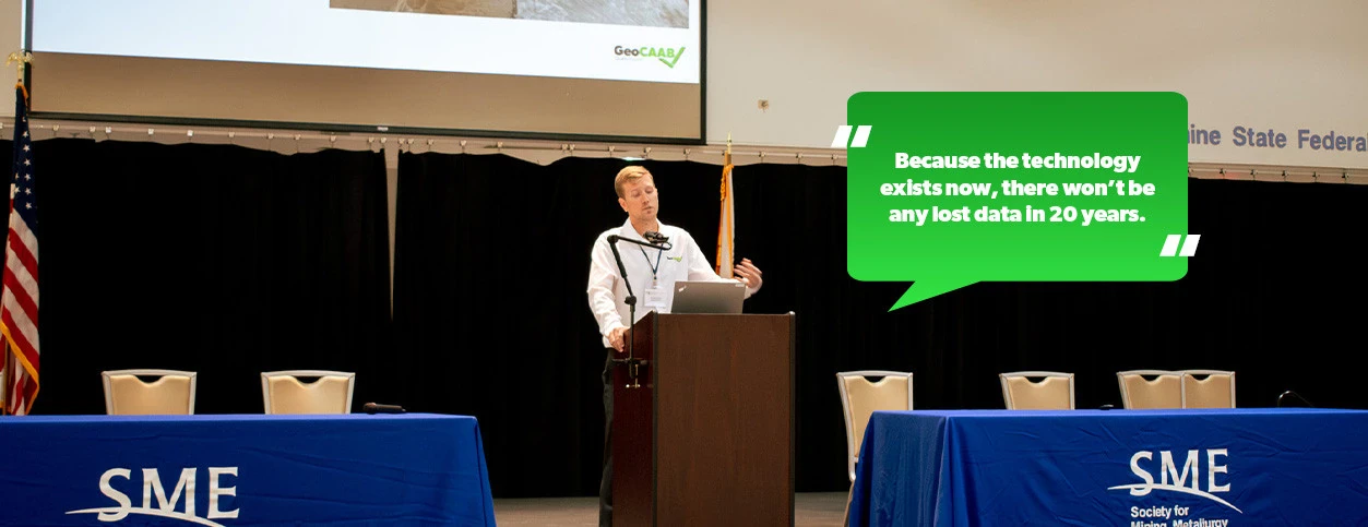
GeoCAAB was a proud attendee of last week's 37th Annual FLSME Regional Mining Conference. In addition to attending and exhibiting, GeoCAAB's Trevor Topp had the privilege of presenting about technology's impacts on the geosynthetics and mining industries.
In his presentation, "Evolution in Geosynthetics Starts with Utilizing Data Technology," Trevor cites GeoCAAB as critical to improving geosynthetic mining operations. GeoCAAB's comprehensive design streamlines quality control for geosynthetic projects. The cloud-based software combines data entry and report analysis into one centralized database. Users testify to experiencing 71% faster data collection, completing 178% more projects, and spending 74% less time per project. (See more results from our case study.)
Improving quality control is especially critical to the phosphate and mining industries to prevent leaks leading to product loss and environmental disasters. Utilizing GeoCAAB ensures that every project is executed with precision, accountability, and transparency. We are no longer relying on guesswork or anecdotal evidence. With hard data at our fingertips, we can make informed decisions that minimize risks and maximize returns. This accuracy is particularly crucial in industries like mining, where environmental impact and regulatory compliance are essential.
In addition to Trevor's presentation, we heard industry professionals representing companies like Mosaic and Ardaman & Associates. Their valuable insights reinforced the urgent need for innovative solutions to address the challenges faced by the phosphate and mining industries.
By embracing cutting-edge technology like GeoCAAB, geosynthetic and mining professionals can revolutionize their operations. Join the growing community of satisfied users committed to a sustainable future. Schedule a consultation to learn how GeoCAAB creates custom implementation plans to transform your business.
GeoCAAB: Experience the Next Revolution in Geosynthetics
We are a computer-aided as-built software, built by the field, for the field, that utilizes GPS mapping to maximize efficiency, accuracy, and organization.